Drone Service provider for all Industries
"We fly drones where no one should go."
© BRISKSKY.COM
BriskSky partners with Van Dessel for drone insurance. Van Dessel is a professional insurance provider for 75 years now and this partnership will help us to confidently provide competent drone training services, as well as sell drone packages and accessories. Most importantly, with this partnership we can ensure our students and clients that risk is kept to a minimum.
WHY BRISKSKY
BriskSky is a drone service provider for your industry. We help with data acquisition, inspection and data mapping. From heavy industries with confined and inaccessible spaces to high places and vast landscape and agricultural fields, BriskSky captures high-resolution images, video and other types of data necessary for your flawless analysis.
Reduce Risk
Inspect hard-to-reach areas without putting your team in danger.
Efficient Inspection
Conduct inspections faster and reduce downtime.
Improve Quality
Gain better visibility to minor details not seen by the naked eye.
Accurate Data
Access accurate data to detect issues on the spot for more reliable analysis.

INDUSTRIES WE WORK WITH
Our Pilots will help you with the first step inspections. As you may know aerial inspections by drones will avoid huge expenses and risk when done by humans. We are here to help any of the following industries reduce cost, downtime, and hazards.
BRISKSKY SERVICES
3D Imaging
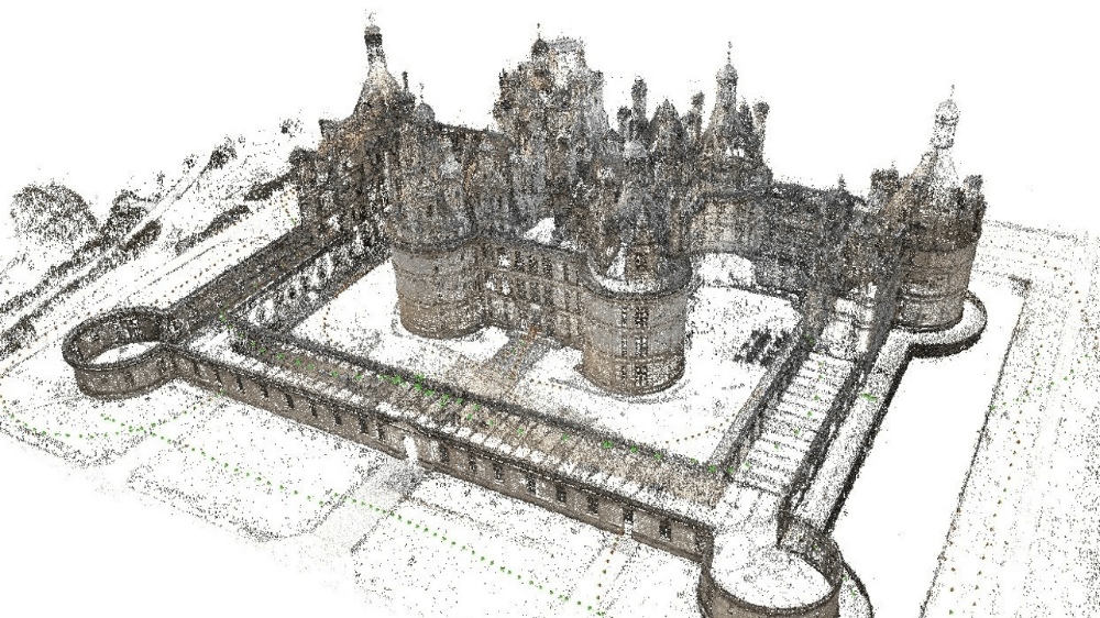
We offer 3D Imaging using Photogrammetry and Lidar technology in combination with advanced software. We transform aerial photos into 3D images using a leading image processing software for accurate mapping and surveillance. Get fast data, accurate reconstruction & better insights.
We help transform your business so you can transform others. Upgrade your services and get more clients by leveraging the advantages of 3D Tours. 3D Imaging makes it a lot quicker and more efficient to envisage and navigate buildings without being physically present in the room.
Photogrammetry
Capture a large number of high-quality images from different vantage points where 3D maps are drawn.Make better decisions from multiple data such as elevation information, texture, shape, and color for every point on the map.
Lidar
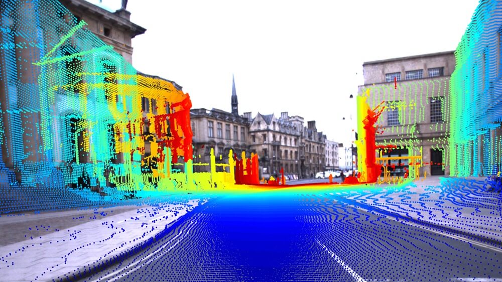
Access usable data using larger drones and highly capable LiDAR systems for a high-precision 3D laser mapping.
Data Acquisition and Inspections
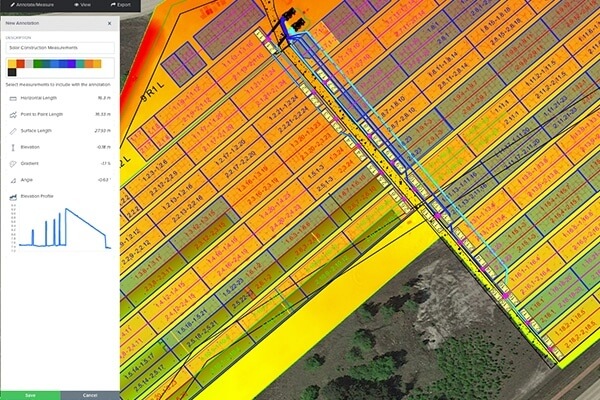
Our core business is to provide drone services for high-resolution data acquisition and inspections. We continuously make the effort to provide for improved technology in order to capture high-quality images for detail survey and mapping.
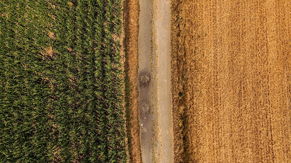
RGB Flights
Capture high-quality RGB images from the sky to detect and quantify crop health problems. Access valuable data in less time, reduce input cost & boost yield.
Thermal Flights
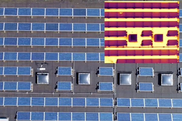
Collect high intuitive, reliable, and precise thermal data for temperature estimation & analysis. Applicable for agriculture, commercial, and thermal properties.

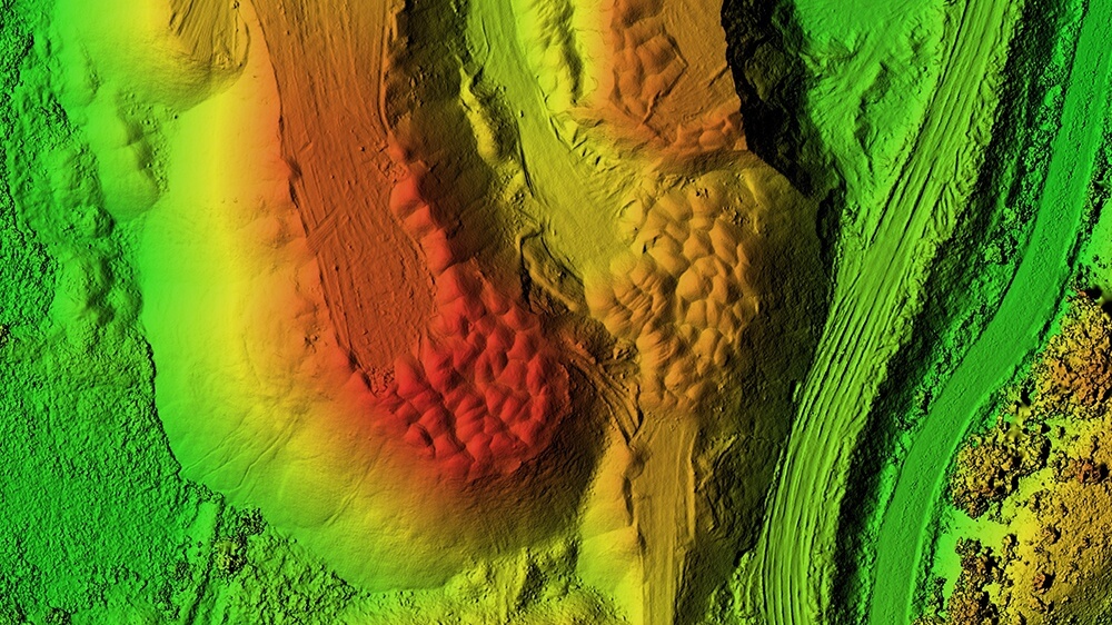
Multispectral Flights
Capture multispectral data at exceptional spatial resolution and see crops in distinct spectral brands for agriculturak inspection and analysis, including weed discrimination.
Panorama and Promotional Photos
We capture a detailed panoramic view of your property from the sky using advanced drone technology in order for you to recreate reality with high-quality panoramic aerial photos for our covered industries.
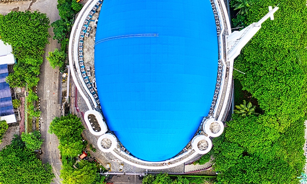

Promotional Videos
Maximize the reach of your videos, improve presentation in the most unique way possible with Brisksky. Upload videos that your audience will notice and the one that will bring you excellent results. These videos, for example, were taken in collaboration with High Flying Birds featuring fashion students wearing their works in the prominent buildings around Antwerp. Contact us today.
Consultancy and Training
Sitemark Partner
Brisksky engaged in a partnership with Sitemark as “Authorized Sitemark Reseller”, which
enables Brisksky to provide professional survey and mapping services.
Data From Sky Partner
Overcome the limitations of traditional counting and tracking methods.
Monitor traffic from the sky.
Track Traffic
Get on-ground situation traffic data to analyze and improve traffic flow and road safety. Using our drones we can help you get detailed report of patterns and types of vehicles including road closures and constructions.
Monitor Customer Behavior
We have drones that help you monitor customer behavior using a heatmap and identify areas that get the most and least traffic. Using these data, you can make better marketing strategies, improve store offerings, and upscale consumer experience.
Count Population
Track the number of people going to your event or demonstration using real-time data. We offer fully automatic calculation for surveillance, monitoring, and documentation.


