SERVICES
"Explore further. Reach deeper."
© BRISKSKY.COM
Transform RGB, thermal, and multispectral images into industry-compatible 3D maps for further analysis and reporting. With our expertise in sensors and georeferencing we can perform seamless execution from acquisition of images to accurate radiometry. Thanks to our partners who are experienced in aerial missions and optimize flight plan as well as efficient use of drone capacities.
BRISKSKY SERVICES

PHOTOGRAMMETRY



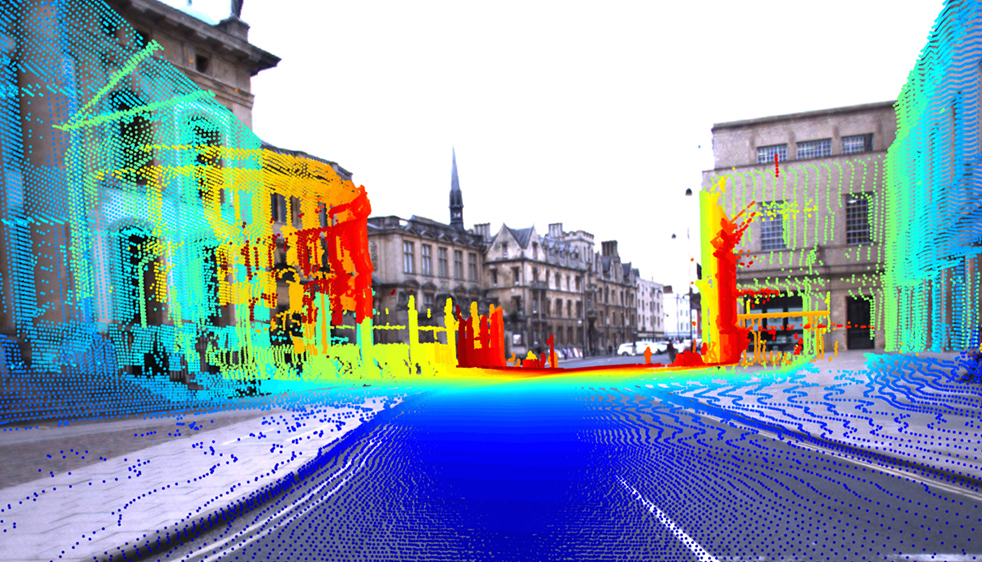
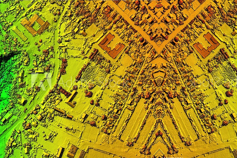
LIDAR Technology
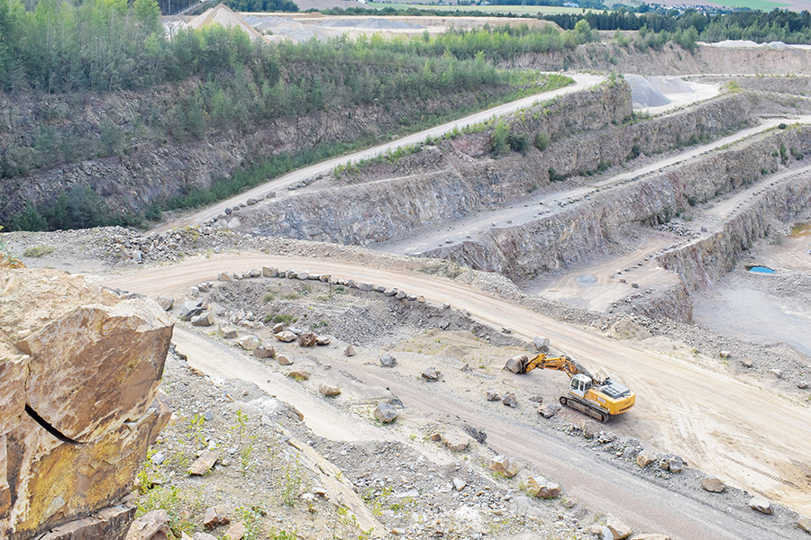

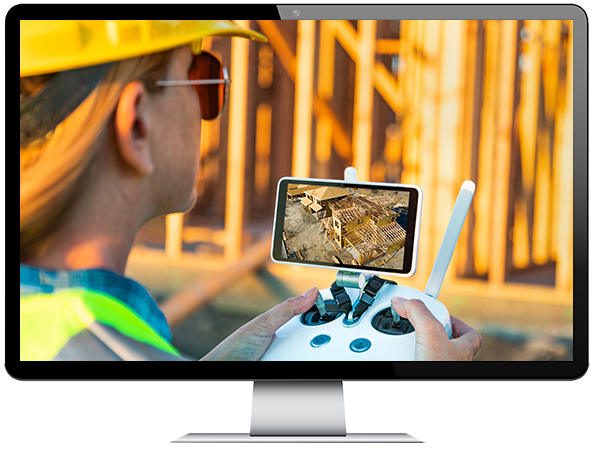
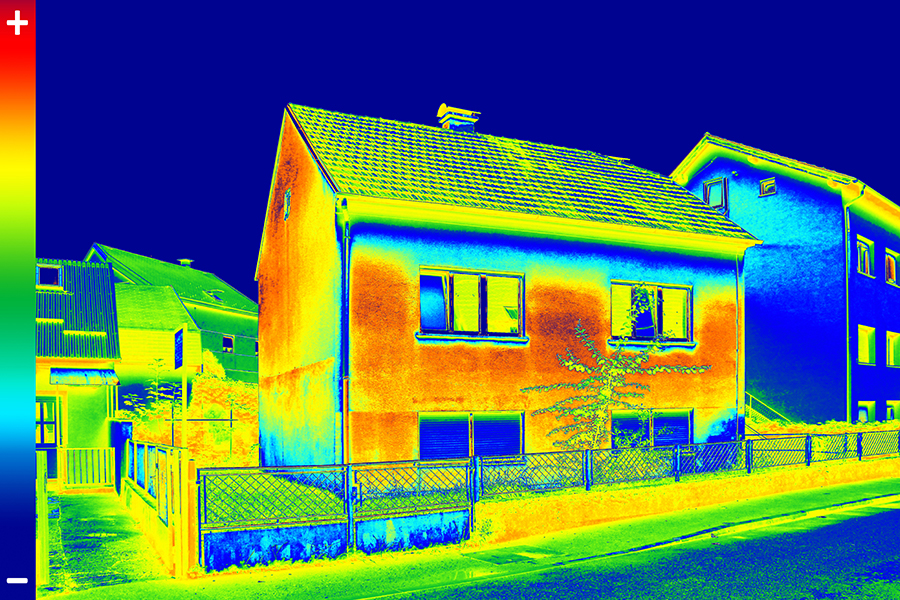
In the past, operations and maintenance teams independently performed manual inspection using several resources. However, these inspections were often limited and reactive, identifying costly repairs only too late. BriskSky ensures safe and easy inspection to help you to proactively analyze issues before they turn into costly repairs.
BrisSky Drones for Aerial Data

Panorama and Promotional Videos
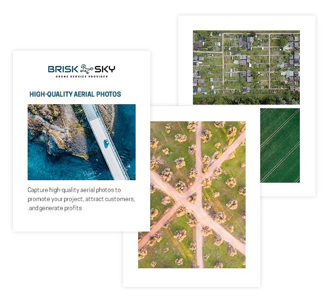
Nowadays, brands are taking customer experience to a whole new level. Showcasing products through videos is an effective way of winning attention and consequently increasing sales. At Brisksky, we can help you take panoramic videos for promotion and marketing.
Creative Promotional Videos
Promote your brand and achieve an intelligent global and efficient promotion that increase sales. Using our drones, we help you take immersive and persuasive panoramic videos with High Flying Birds.

Are you thinking of adopting a drone of your business but don’t know where to start? If you answered “yes”, then you’ve come to the right place.
Drones are used by private and public organizations to streamline processes and complete meaningful work. The challenge that every business faces now is to figure out how to integrate this technology safely, cost effectively, and within their current regulatory framework.
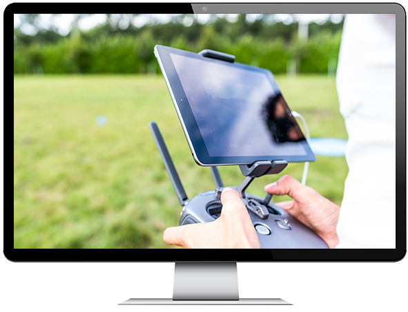

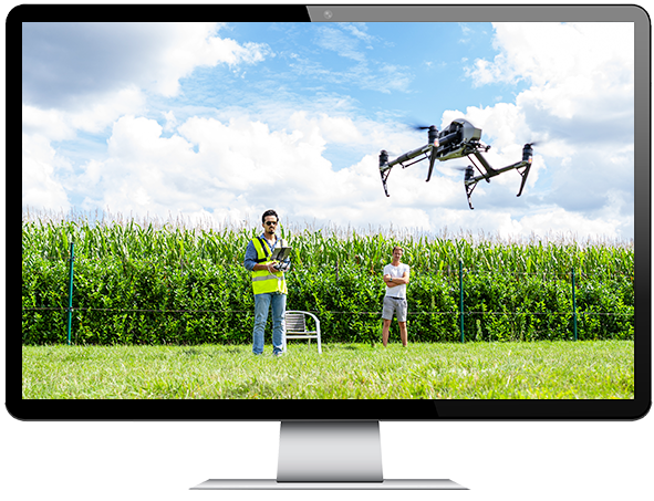
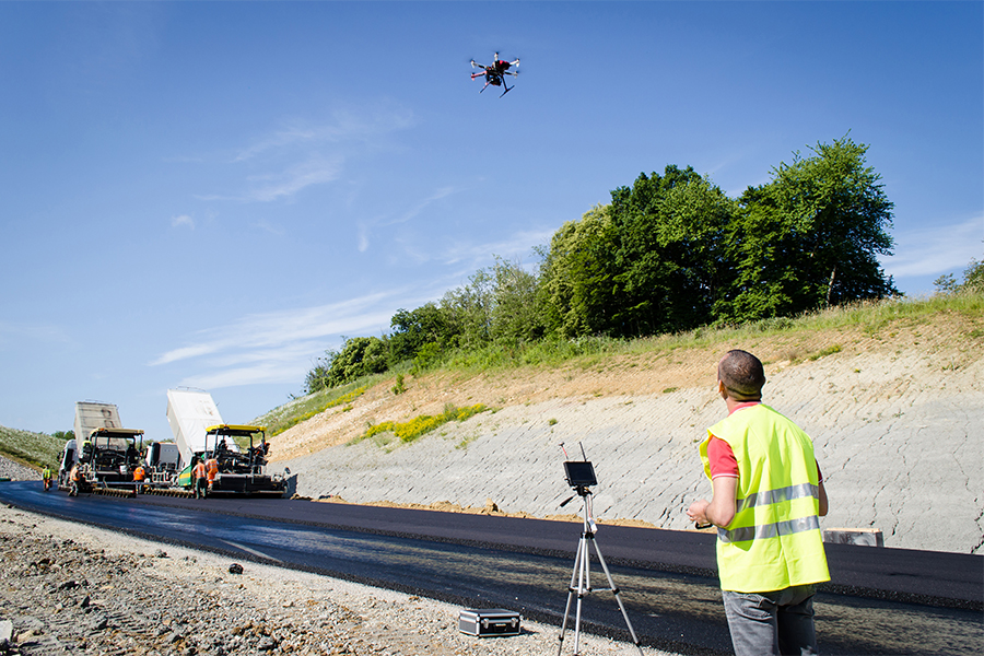
Take part in training and workshops and learn more about the drone industry and equipment.
Receive high-quality pilot training and learn how to fly drones.
General overview and basic knowledge of flying drones
Fly your first drone with more confidence in a safe way Learn to take 3D images for survey, mapping & inspection
Learn to take 3D images for survey, mapping & inspection
PARTNER SOLUTIONS
With our Partner Solutions we aim to provide you Services in an overall package.

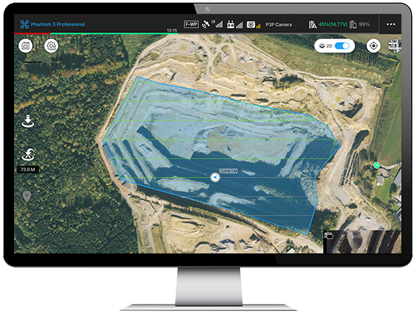
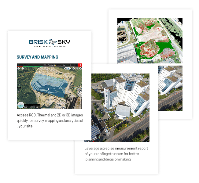

Sitemark Partner
Brisksky engaged in a partnership with Sitemark as “Authorized Sitemark Reseller”, which
enables Brisksky to provide professional survey and mapping services.
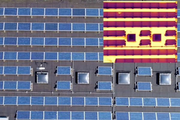
Rooftop inspection
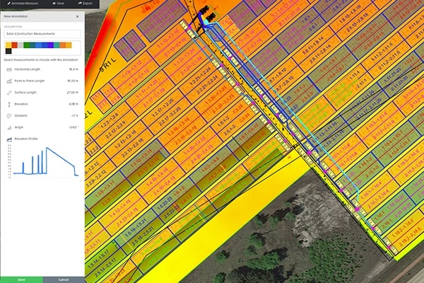
Solar Construction Measurements

Thermal Anomalies

Layers
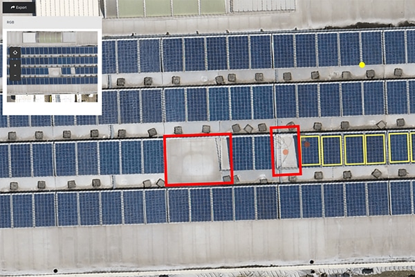
Detect Weather Damages

Hail Damage
Traffic Tracking
We help you get a hold of real-time traffic data which you can turn into actionable insights so you can make a smarter decision for your organization. This data can be used to enhance security, detect road problems, track the number of people going to your business, and many more.

Traffic Monitoring
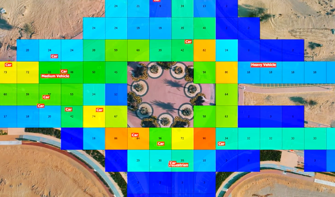
Traffic Patterns
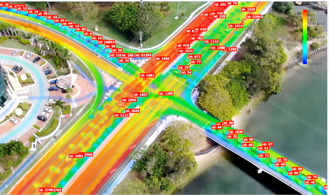
Movement Tracking
Customer Behavior
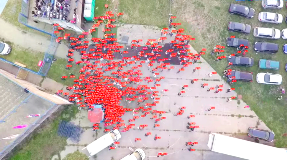
Population Count

Pedestrian Crossing

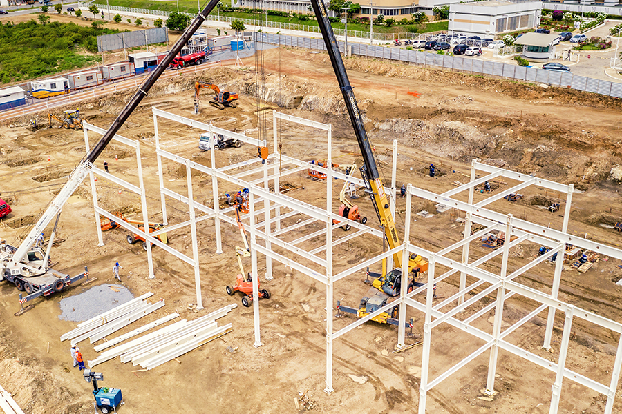
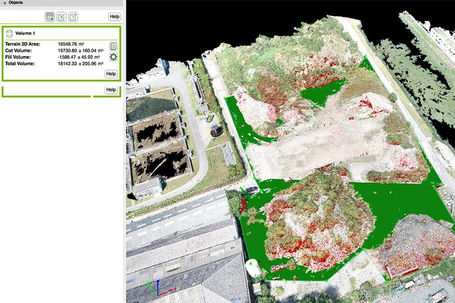
Leverage high resolution 3D images for highly-accurate distance and surface measurements with short acquisition time. With a full measurement overview it is easier to plan properly, avoid errors, and monitor progress.


Either you are starting to establish your drone service provider business as a freelance as a drone pilot or as a drone software provider or maybe you are expanding your business cross country or internationally, BriskSky will be able to help you set up your business service and give you the contractual frameworks that you need for your commercial transactions for the selling and reselling you products and services.


